Imagine being able to grab coffee, stroll to a park, and catch your train without getting in the car. In Morris Plains, you can enjoy a small-town feel with easy access to everyday needs and regional transit. If you want low-maintenance, transit-oriented living, this guide shows you where to look, how to judge real walkability, and what tradeoffs to consider. Let’s dive in.
Why Morris Plains works for walkers
Morris Plains is a compact borough in Morris County just west of Morristown. You get a small downtown with local cafes, restaurants, and services, plus quick regional access through nearby routes that connect to I-287 and Route 10. Larger shopping and cultural options in Morristown and Parsippany are a short drive away.
Commuters value the NJ Transit service on the Morristown and Montclair Lines. The Morris Plains station offers direct access to Hoboken and, on some Morristown Line trains, Midtown Direct service to New York City. Schedules and frequency vary by peak and off-peak hours, and parking rules matter, so the value of living near the station depends on your routine.
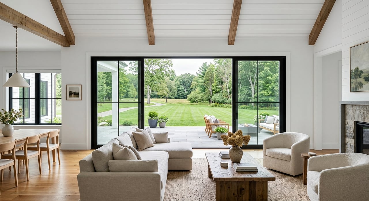
Daily life is convenient around the center. You will find small restaurants, bakeries, and services clustered near downtown, along with neighborhood parks and fields. Housing options range from older single-family homes to ranches, plus townhomes, condos, and small multifamily buildings closer to the core for lower maintenance.
How to judge real walkability
Distance and time
- A 5-minute walk is about 0.25 mile. A 10-minute walk is about 0.5 mile.
- Prioritize routes to the train, grocery or pharmacy, coffee, parks and playgrounds, post office or bank, and a small cluster of restaurants.
Sidewalks and crossings
- Continuous sidewalks, marked crosswalks, and curb ramps often matter more than straight-line distance.
- Look for well-marked or signalized crossings on the way to the station and downtown, and check for adequate lighting at night.
Land use mix
- A compact mix of homes and small shops within a short walk supports frequent trips on foot.
- Long stretches of single-use residential streets make errands less practical without a car.
Topography and seasons
- Hills, busy arterials, and long stairways can make short distances feel longer.
- In winter, look for reliable snow and ice clearing along sidewalks.
First and last mile to transit
- If you plan to walk daily, evaluate sidewalk continuity and safe routes to the station.
- If you plan to drive to the train, confirm permit options, lot capacity, and costs. Also note bike parking if you prefer to ride.
Noise and activity
- The most walkable blocks near the station and Main Street have more people and vehicle activity.
- Visit at different times to understand delivery traffic, buses, and commuter flows.
Safety and upkeep
- Review local police and community updates to understand safety patterns.
- Look for consistent municipal maintenance, landscaping, and trash pickup that support comfortable walking year-round.
Walkable pockets in Morris Plains
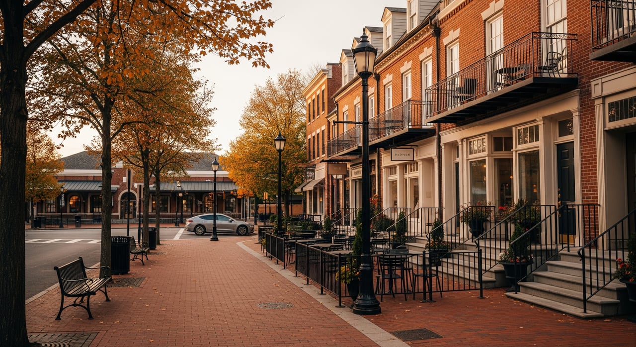
Station and downtown core
This is the most walkable pocket. You can reach the commuter rail, cafes, small shops, and services within a few minutes on foot. It suits commuters and anyone who wants low-maintenance living with daily conveniences nearby.
Nearby housing includes smaller single-family homes, duplexes, and townhome or condo options with less yard work. Expect more pedestrian and vehicle activity, smaller yards, and HOA fees for some buildings. If you rely on the train, compare rush-hour and off-peak schedules and verify parking rules if you will not walk daily.
What to map: draw 5- and 10-minute walking circles from the station. Note the grocery and pharmacy options, parks, and civic amenities inside those circles.
Park-adjacent pockets
These blocks sit close to neighborhood parks, playgrounds, and athletic fields. They are great if you want daily outdoor time and quieter streets, yet still want to be near town.
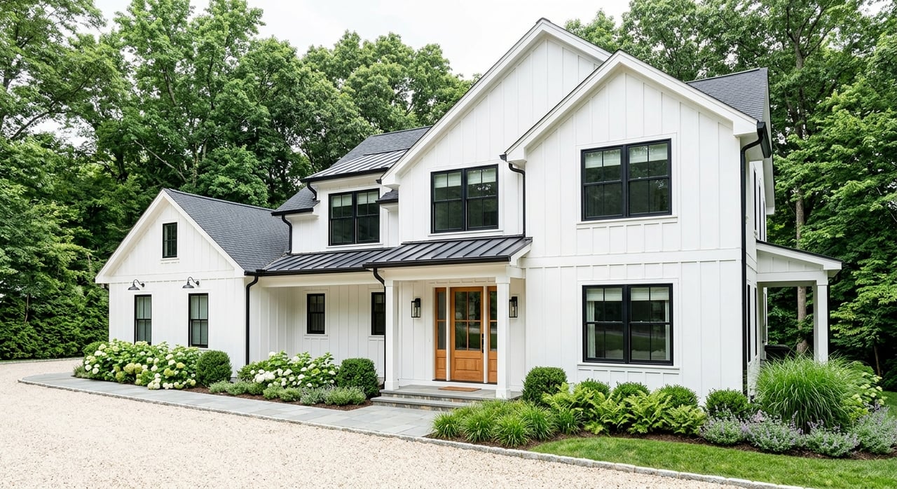
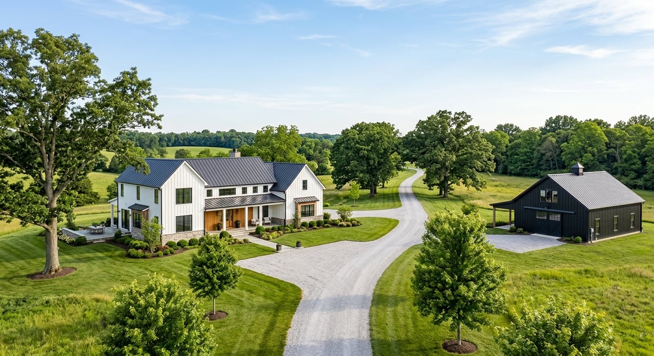
You will often find single-family homes on traditional suburban lots, sometimes with tree-lined streets and sidewalks. Retail and transit may be a longer walk or a short drive from here.
What to map: center your map on the nearest park. Add walking distances to that park and then to the closest transit stop and downtown cluster.
Edge pockets near Morristown and retail corridors
On the borough’s edges, some areas offer walking or short bike rides to larger retail or mixed-use areas in adjacent towns. You trade a slightly longer walk to local shops for more retail choice.
Homes here are often on larger lots with more vehicle-oriented street design. If you plan to walk or bike, evaluate sidewalk continuity, crossings, and traffic speeds on the route to shops and the station.
What to map: trace sidewalk and bike-friendly connections from your block to the nearest mixed-use or retail center, then estimate walking times.
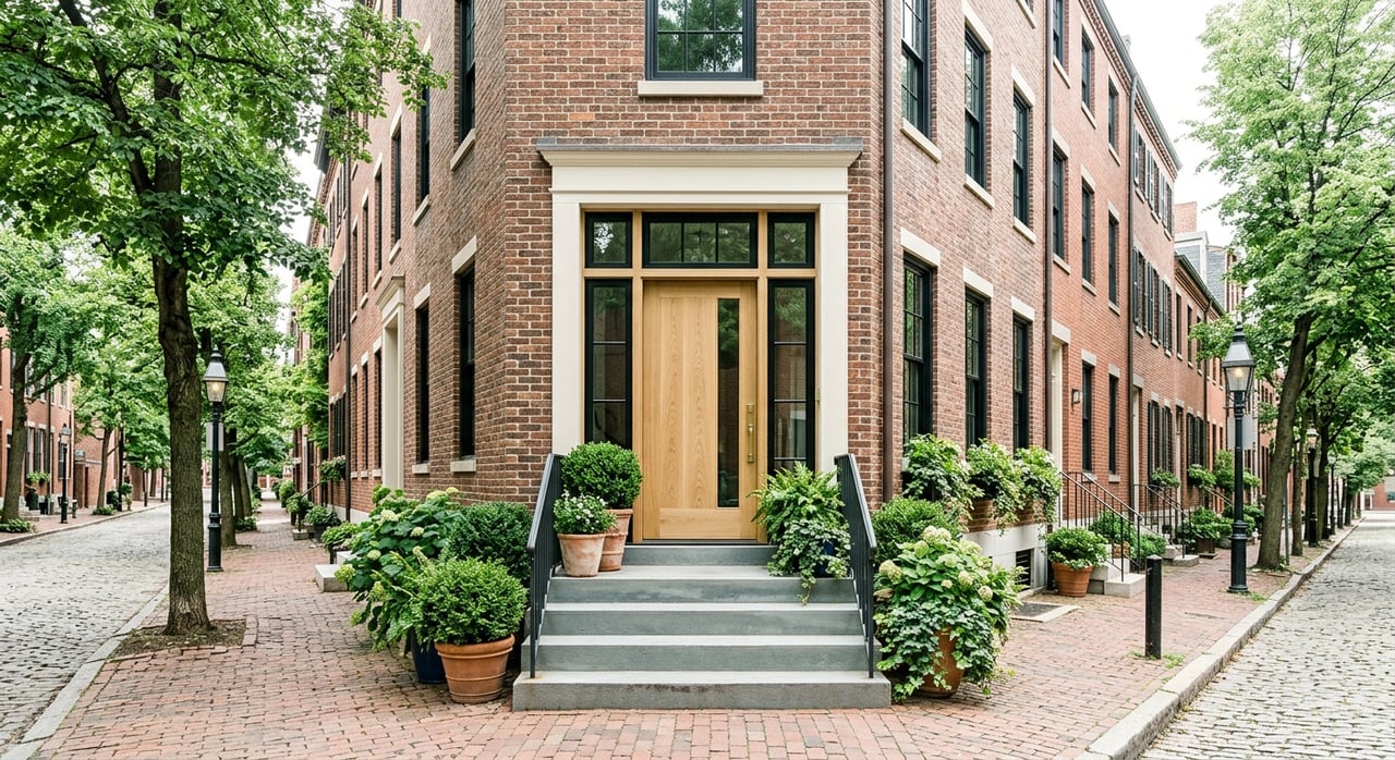
One to two blocks off the core
Just off the downtown streets, you can find a good balance of quiet and convenience. You are close enough to walk to the station and cafes, but buffered from the busiest corners.
Expect modest single-family homes with small yards and some duplexes. Confirm sidewalk continuity and safe crossings to reach the core. Note local traffic patterns and street parking.
Tradeoffs to weigh
- Convenience vs space: The walkable core delivers quick errands and shorter first and last miles to the train. You will often see smaller yards and more multifamily buildings. Quieter pockets offer larger lots and more privacy, but many errands will require a car.
- Maintenance and ownership: Condos and townhomes near the station reduce exterior maintenance, with HOA fees replacing yard work. Single-family homes mean more upkeep and potentially higher ongoing costs.
- Commute reliability vs parking: Living near the station reduces your morning friction. If you live farther out, confirm commuter parking availability and costs.
- Noise and activity: Expect more foot traffic and occasional delivery noise near downtown. Quieter streets reduce activity but feel less vibrant.
- Resale and demand: Transit-proximate homes often attract commuters and downsizers, which can support future resale. Always compare with recent local sales for a true picture.
A step-by-step field checklist
- Walk your routes to the station, nearest grocery or pharmacy, parks, and civic stops during morning commute, midday, evening, and weekend.
- Time each walk. Note sidewalk gaps, curb ramps, crosswalks, lighting, and any steep sections.
- Observe the station: check train frequency that matches your schedule, platform access, and how full lots get.
- Listen for noise at different times, including deliveries and traffic cycles.
- Review winter-readiness: who clears snow and ice along sidewalks on your route.
Data to confirm before you bid
- Borough resources: downtown planning, parking rules, and sidewalk maintenance ordinances.
- NJ Transit information: Morristown Line station page, timetables, and parking permit programs.
- Quick scoring tools: Walk Score and Transit Score for an at-a-glance view, then verify on foot.
- County and state data: Morris County planning and GIS maps, plus NJDEP and FEMA flood maps if you are near streams.
- Market and community context: recent sold data for transit-adjacent vs quieter streets, and school district pages for neutral location details.
Questions to ask during due diligence
- Where are commuter parking permits issued, and what are the current costs and wait times?
- Are any sidewalk, streetscape, or traffic-calming projects planned on my walking route?
- Who is responsible for snow and ice removal on sidewalks along the route to the station?
- How often do trains sound horns near the home, and are there known delivery or event noise windows nearby?
- How do recent sales near the station compare to similar homes farther out in days on market and pricing?
Ready to compare blocks and homes?
If you want a car-light lifestyle without leaving the suburbs, Morris Plains delivers a strong mix of transit access, parks, and everyday conveniences. The key is matching the right pocket to your routine, budget, and noise tolerance. A local, field-tested plan will help you find the sweet spot between walkability and home features.
If you are considering Morris Plains or nearby towns, let’s map the right routes together and compare specific blocks on foot. Reach out to Ryan Dawson to discuss your goals and schedule neighborhood walk-throughs.
FAQs
Is Morris Plains a practical NYC commute by rail?
- Yes. The Morristown Line serves the borough, with direct service to Hoboken and, on some trains, Midtown Direct to New York. Check peak and off-peak schedules.
Will I need a car if I live near downtown Morris Plains?
- Many daily needs are walkable near the core, including cafes, small shops, and parks. A car still helps for larger grocery trips and regional errands.
Are there condos or townhomes within walking distance of the station?
- Yes. You can find townhouses, condos, and smaller multifamily options closer to the core. Review HOA fees, rules, and maintenance coverage.
How can I compare noise vs convenience near the station?
- Visit at multiple times, talk with neighbors, and note house orientation. Look for sound-reducing windows or landscaping when relevant.
How do I assess sidewalk and crossing safety on a route I like?
- Start with a virtual check using online street views, then walk the route. Note curb ramps, crosswalk visibility, traffic speeds, and lighting at night.